
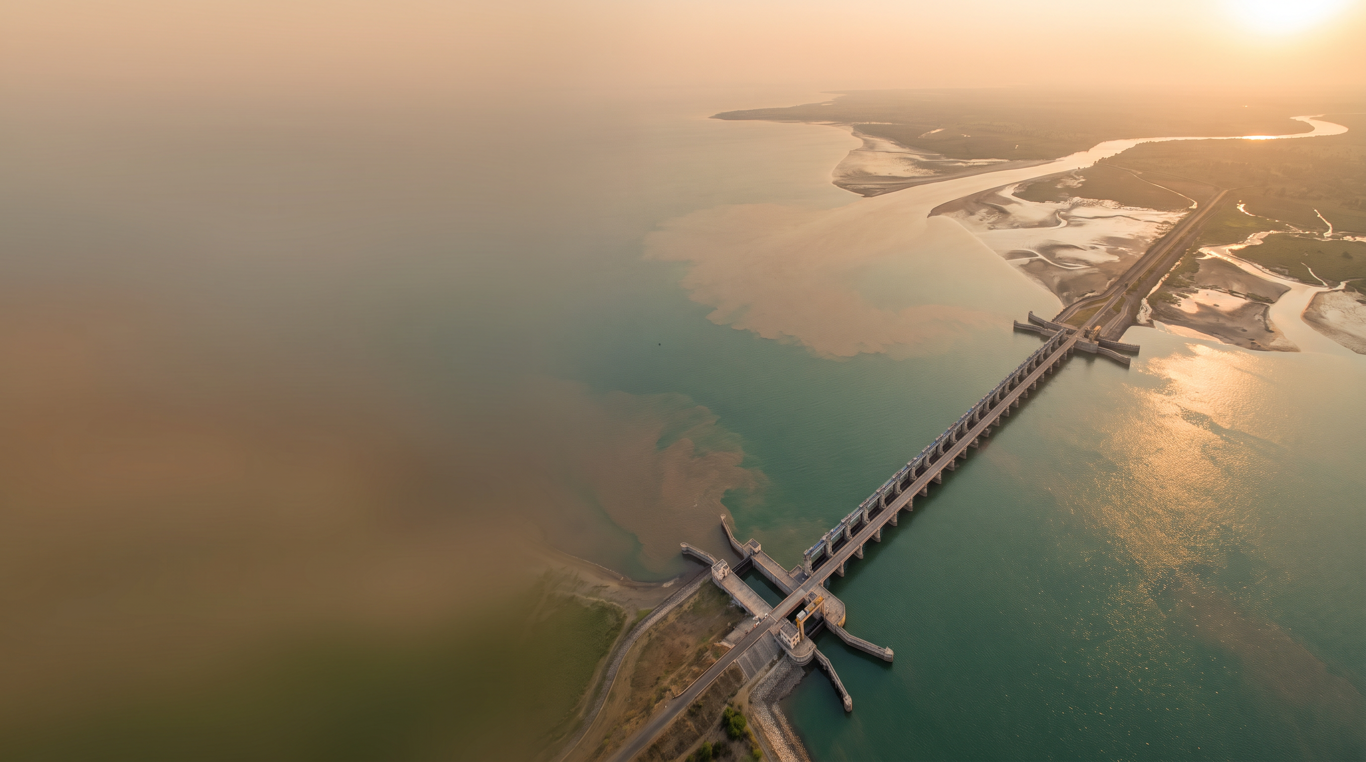
Kalpasar Project
One of the world's largest proposed freshwater reservoir projects — envisioned across the Gulf of Khambhat to secure water, power, mobility and ecological balance for Gujarat.
26.7km
Dam Length
8,000MCM
Storage
1,800km²
Reservoir
A 60.13 km dam between Bharuch and Bhavnagar
The Government of Gujarat has envisaged to create the world's largest man-made freshwater reservoir by constructing a 60.13 km long dam across the Gulf of Khambhat, between Bharuch and Bhavnagar.
The reservoir will store approximately 8,000 MCM of surplus river water from the Sabarmati, Mahi, Dhadhar, rivers of Saurashtra, and the Narmada River through the Narmada Diversion Canal.
8,000MCM
Surplus Storage
5Rivers
Feeding Basins
2Coasts
Connected
Engineering specifications
Headline parameters of the proposed dam, reservoir and alignment.
Dam Structure
26.7km
Dam Length
140m
Top Width
16Lane
Road Capacity
4Lane
Rail Capacity
Alignment Coordinates
GIS Anchor
Bharuch Anchor
- Latitude
- 21.7051° N
- Longitude
- 72.9959° E
GIS Anchor
Bhavnagar Anchor
- Latitude
- 21.7645° N
- Longitude
- 72.1519° E
GIS Anchor
Mid-Span Lock
- Latitude
- 21.7350° N
- Longitude
- 72.5800° E
Reservoir Parameters
+3.0m
FRL (Full Reservoir Level)
+5.0m
MWL (Max Water Level)
−4.0m
MDDL (Min Drawdown)
7,807MCM
Live Storage
1,800km²
Reservoir Spread
4,375MCM
Water for Irrigation
A multiplier effect across Gujarat
Direct and induced benefits envisioned across agriculture, mobility, energy and ecology.
10 Lakh Hectares
Irrigation Potential
New irrigation capacity across 42 talukas in 9 districts of Gujarat.
- Talukas
- 42
- Districts
- 9
Travel Distance
Cut from 240 km → 60 km
Direct road & rail link between Saurashtra and South Gujarat.
- Existing
- 240 km
- Via Kalpasar
- 60 km
1,76,867 Hectares
Land Reclamation
Reclaimed coastal land for development, agriculture and habitation.
Tourism Circuit
Lakefront & Eco-zones
Integrated tourism development around the reservoir and bridge.
Fisheries
Inland Freshwater Industry
New livelihoods through large-scale freshwater fisheries development.
Coastal Defence
Reduced Salinity Ingress
Mitigation of tidal surge, erosion and salinity in coastal aquifers.
1,500 MW
Wind Energy
Harnessing strong coastal wind regime along the alignment.
1,000 MW
Solar Energy
Floating and embankment solar arrays on the reservoir.
Where the project stands today
The process for including the Kalpasar Dyke as a permissible activity under the CRZ Notification 2019 is currently under progress with the Ministry of Environment, Forest and Climate Change (MoEFCC), Government of India.
Current Stage
Government Approval Process
In Progress- Stage 01Completed
Pre-feasibility Studies
Completed across multiple phases
- Stage 02Completed
Site Surveys & Geotechnical Investigations
Coastal & marine surveys completed
- Stage 03Active
CRZ Inclusion under MoEFCC
Process for including Kalpasar Dyke as a permissible activity under CRZ Notification 2019 currently in progress
- Stage 04
Detailed Project Report (DPR)
Subject to environmental clearances
- Stage 05
Tendering & Construction
Phased execution post DPR approval
The Kalpasar alignment
More than a barrier across the gulf: a crossing for water, ships, road, rail and power.
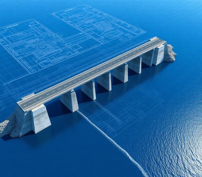
Road and rail on one crest
The dam crest is planned as a transport deck, carrying a multi-lane highway and a rail corridor between Saurashtra and South Gujarat.
A lock for ships
A navigation lock near mid-span is intended to keep maritime traffic moving between the open gulf and the reservoir.
Freshwater on the landward side
Surplus flows from the Narmada, Sabarmati, Mahi, Dhadhar and Saurashtra rivers would be held behind the dam as a freshwater lake.
Power along the crossing
The coastal wind regime and the wide water surface are the basis for the planned wind turbines and solar arrays.
Frequently asked questions
Quick answers to common questions about the Kalpasar Project. For detailed queries, please reach out to the department.
Ask a questionInterested in learning more about Kalpasar?
Download the official project brochure for detailed technical information, or reach out to the department for queries and collaborations.